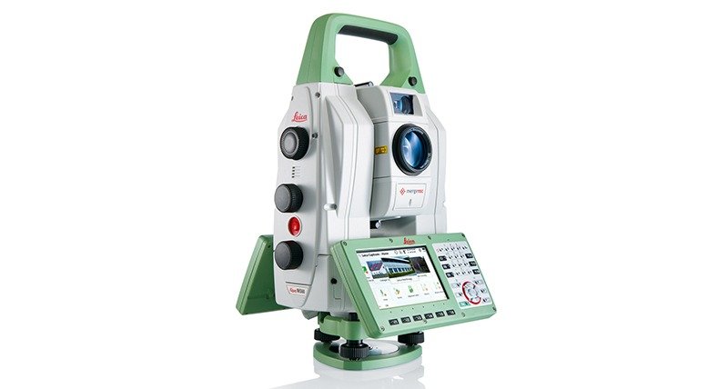
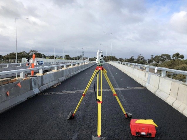
A total station survey is a land surveying method that uses a total station—an electronic instrument that combines an electronic theodolite (for measuring angles), an electronic distance meter (EDM), and a microprocessor (for calculations and data storage). It is widely used in construction, civil engineering, mapping, and land development.
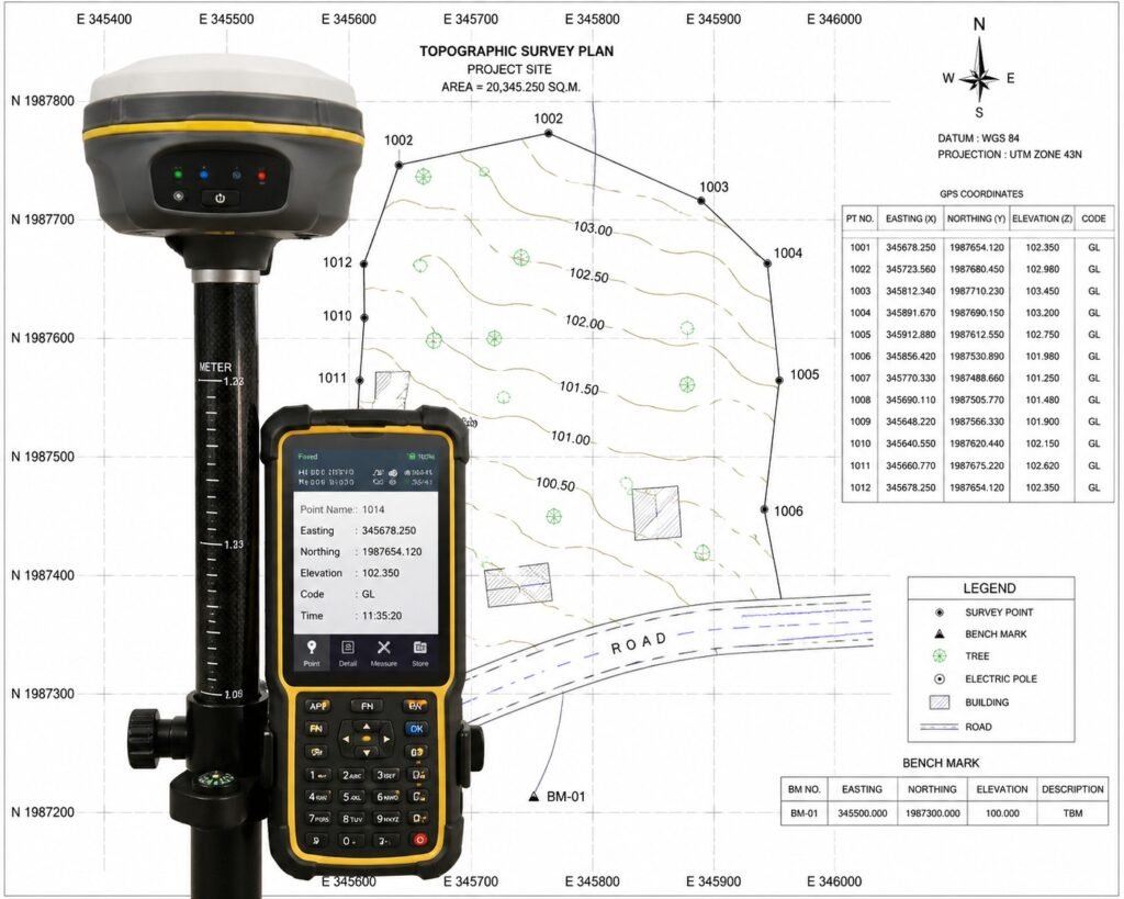
A GPS & AMSL survey is used to determine the exact position (X, Y) and elevation (Z) of points with respect to Mean Sea Level (AMSL) using GNSS/GPS equipment.
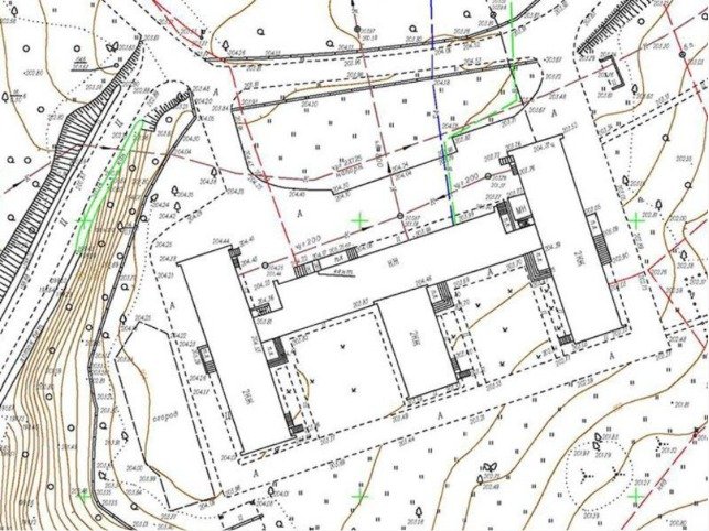
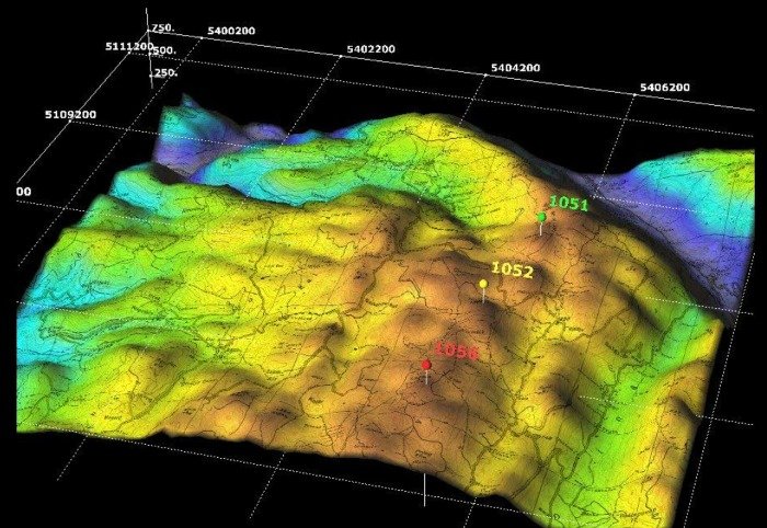
A contour survey is a type of land survey used in civil engineering to determine the elevation and shape (topography) of a piece of land. It represents the terrain using contour lines, which join points of equal height above a reference level.
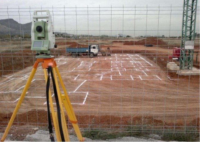
Demarcation of building and plot is the process of marking exact boundaries of land (plot) and fixing the position of a building on that plot as per approved drawings.
A road survey is the process of collecting field data (distance, elevation, alignment, and ground features) required for the planning, design, and construction of roads.
A topography survey (also called a topographic survey) is the process of measuring and mapping the natural and man-made features of land, including elevations, contours, and ground levels.