





Our Services
Access the Best Land Surveying Services from Trusted Experts
With over 35 years of specialized expertise in the sector, M.B. Andurlekar & Associates delivers unparalleled precision in land surveying and civil engineering. We leverage cutting-edge LiDAR technology, DGPS systems, and state-of-the-art surveying software to ensure absolute structural integrity for every project. Our commitment to technical authority ensures our clients receive highly accurate data sets critical for complex infrastructure planning and residential developments.
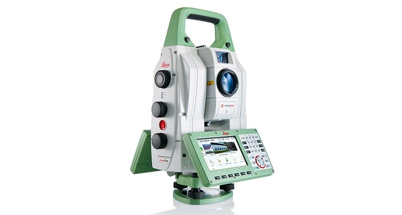
Total Station Survey
A total station survey is a land surveying method that uses a total station—an electronic...
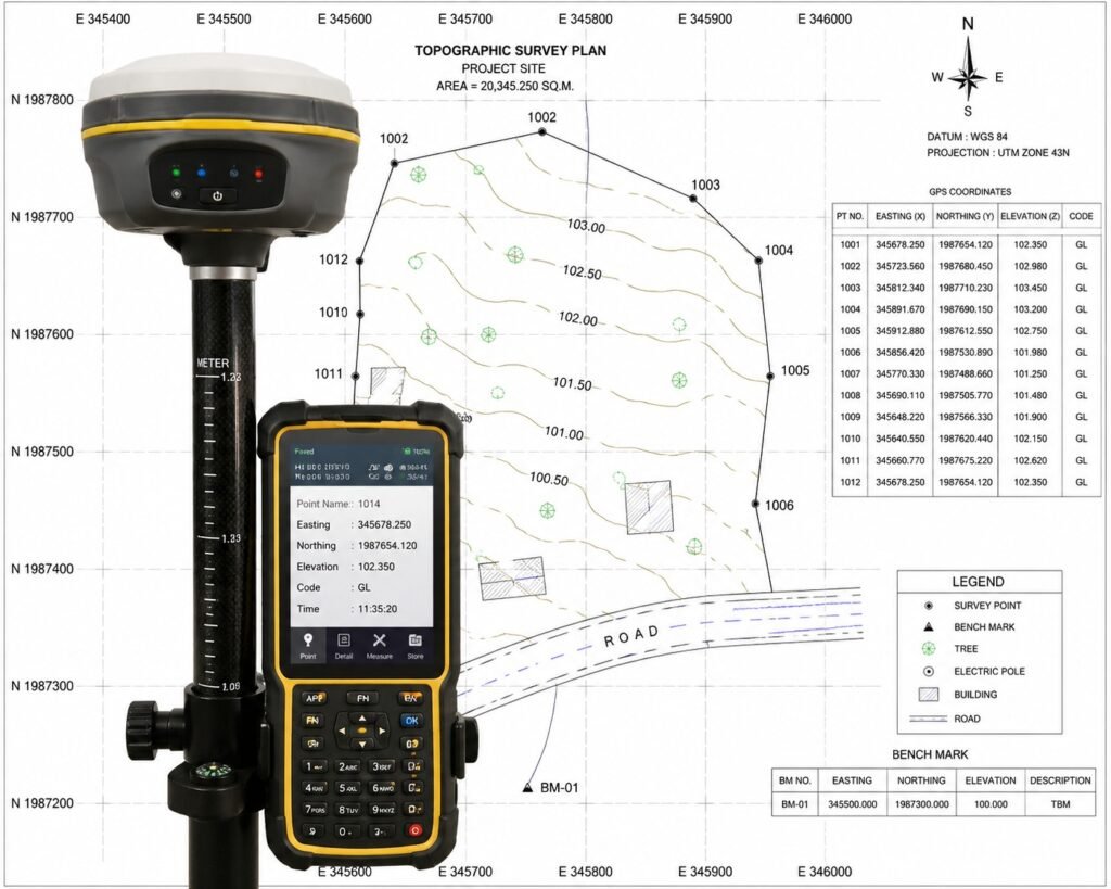
GPS/GIS Land & TopographicSurvey
A GPS & AMSL survey is used to determine the exact position (X, Y) and elevation (Z) of..
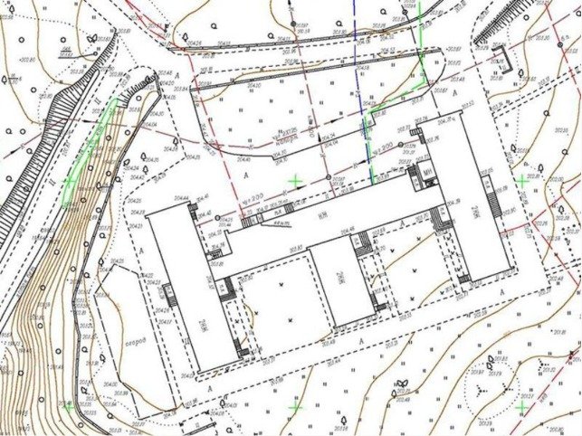
Contour Survey
A contour survey is a type of land survey used in civil engineering to determine the elevation and...
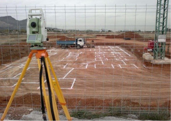
Layout & Demarcation Survey
Demarcation of building and plot is the process of marking exact boundaries of land...
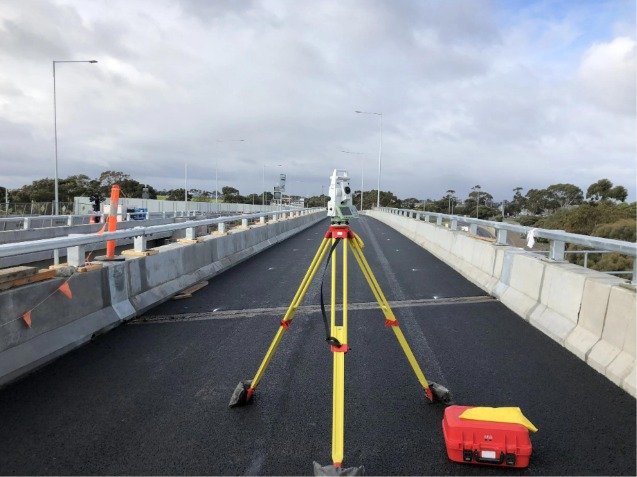
Road & Infrastructure Survey
A road survey is the process of collecting field data (distance, elevation, alignment, and..
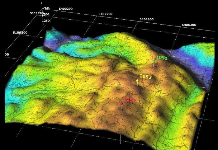
Topography Survey
A topography survey (also called a topographic survey) is the process of measuring and mapping...