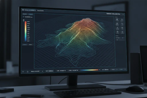
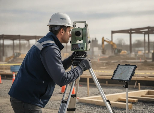
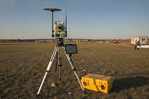
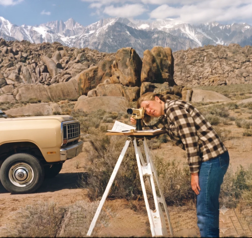
High-precision satellite-based positioning and geographic information system mapping for large-scale terrain analysis and infrastructure serve as the foundation of a modern GPS/GIS Land and Topographic Survey. This highly specialized process is designed to capture, analyze, and visualize the exact physical features of a specific land parcel. By deploying advanced GPS receivers, surveying professionals collect pinpoint-accurate, three-dimensional geospatial data that records the precise latitude, longitude, and elevation of the earth's surface. This raw field data is then fed into sophisticated GIS software to generate dynamic, multi-layered digital maps. These comprehensive models clearly illustrate natural terrain variations—such as hills, valleys, elevation contours, and water bodies—alongside man-made structures, property boundaries, roads, and utility networks. Ultimately, this integrated approach provides architects, civil engineers, and urban planners with a reliable, real-world blueprint that is absolutely essential for safe, efficient, and accurate land development.
High-precision satellite-based positioning and geographic information system mapping for large-scale terrain analysis and infrastructure serve as the foundation of a modern GPS/GIS Land and Topographic Survey. This highly specialized process is designed to capture, analyze, and visualize the exact physical features of a specific land parcel. By deploying advanced GPS receivers, surveying professionals collect pinpoint-accurate, three-dimensional geospatial data that records the precise latitude, longitude, and elevation of the earth's surface. This raw field data is then fed into sophisticated GIS software to generate dynamic, multi-layered digital maps. These comprehensive models clearly illustrate natural terrain variations—such as hills, valleys, elevation contours, and water bodies—alongside man-made structures, property boundaries, roads, and utility networks. Ultimately, this integrated approach provides architects, civil engineers, and urban planners with a reliable, real-world blueprint that is absolutely essential for safe, efficient, and accurate land development.
High-precision satellite-based positioning and geographic information system mapping for large-scale terrain analysis and infrastructure serve as the foundation of a modern GPS/GIS Land and Topographic Survey. This highly specialized process is designed to capture, analyze, and visualize the exact physical features of a specific land parcel. By deploying advanced GPS receivers, surveying professionals collect pinpoint-accurate, three-dimensional geospatial data that records the precise latitude, longitude, and elevation of the earth's surface. This raw field data is then fed into sophisticated GIS software to generate dynamic, multi-layered digital maps. These comprehensive models clearly illustrate natural terrain variations—such as hills, valleys, elevation contours, and water bodies—alongside man-made structures, property boundaries, roads, and utility networks. Ultimately, this integrated approach provides architects, civil engineers, and urban planners with a reliable, real-world blueprint that is absolutely essential for safe, efficient, and accurate land development.
High-precision satellite-based positioning and geographic information system mapping for large-scale terrain analysis and infrastructure serve as the foundation of a modern GPS/GIS Land and Topographic Survey. This highly specialized process is designed to capture, analyze, and visualize the exact physical features of a specific land parcel. By deploying advanced GPS receivers, surveying professionals collect pinpoint-accurate, three-dimensional geospatial data that records the precise latitude, longitude, and elevation of the earth's surface. This raw field data is then fed into sophisticated GIS software to generate dynamic, multi-layered digital maps. These comprehensive models clearly illustrate natural terrain variations—such as hills, valleys, elevation contours, and water bodies—alongside man-made structures, property boundaries, roads, and utility networks. Ultimately, this integrated approach provides architects, civil engineers, and urban planners with a reliable, real-world blueprint that is absolutely essential for safe, efficient, and accurate land development.
High-precision satellite-based positioning and geographic information system mapping for large-scale terrain analysis and infrastructure serve as the foundation of a modern GPS/GIS Land and Topographic Survey. This highly specialized process is designed to capture, analyze, and visualize the exact physical features of a specific land parcel. By deploying advanced GPS receivers, surveying professionals collect pinpoint-accurate, three-dimensional geospatial data that records the precise latitude, longitude, and elevation of the earth's surface. This raw field data is then fed into sophisticated GIS software to generate dynamic, multi-layered digital maps. These comprehensive models clearly illustrate natural terrain variations—such as hills, valleys, elevation contours, and water bodies—alongside man-made structures, property boundaries, roads, and utility networks. Ultimately, this integrated approach provides architects, civil engineers, and urban planners with a reliable, real-world blueprint that is absolutely essential for safe, efficient, and accurate land development.
High-precision satellite-based positioning and geographic information system mapping for large-scale terrain analysis and infrastructure serve as the foundation of a modern GPS/GIS Land and Topographic Survey. This highly specialized process is designed to capture, analyze, and visualize the exact physical features of a specific land parcel. By deploying advanced GPS receivers, surveying professionals collect pinpoint-accurate, three-dimensional geospatial data that records the precise latitude, longitude, and elevation of the earth's surface. This raw field data is then fed into sophisticated GIS software to generate dynamic, multi-layered digital maps. These comprehensive models clearly illustrate natural terrain variations—such as hills, valleys, elevation contours, and water bodies—alongside man-made structures, property boundaries, roads, and utility networks. Ultimately, this integrated approach provides architects, civil engineers, and urban planners with a reliable, real-world blueprint that is absolutely essential for safe, efficient, and accurate land development.
High-precision satellite-based positioning and geographic information system mapping for large-scale terrain analysis and infrastructure serve as the foundation of a modern GPS/GIS Land and Topographic Survey. This highly specialized process is designed to capture, analyze, and visualize the exact physical features of a specific land parcel. By deploying advanced GPS receivers, surveying professionals collect pinpoint-accurate, three-dimensional geospatial data that records the precise latitude, longitude, and elevation of the earth's surface. This raw field data is then fed into sophisticated GIS software to generate dynamic, multi-layered digital maps. These comprehensive models clearly illustrate natural terrain variations—such as hills, valleys, elevation contours, and water bodies—alongside man-made structures, property boundaries, roads, and utility networks. Ultimately, this integrated approach provides architects, civil engineers, and urban planners with a reliable, real-world blueprint that is absolutely essential for safe, efficient, and accurate land development.
High-precision satellite-based positioning and geographic information system mapping for large-scale terrain analysis and infrastructure serve as the foundation of a modern GPS/GIS Land and Topographic Survey. This highly specialized process is designed to capture, analyze, and visualize the exact physical features of a specific land parcel. By deploying advanced GPS receivers, surveying professionals collect pinpoint-accurate, three-dimensional geospatial data that records the precise latitude, longitude, and elevation of the earth's surface. This raw field data is then fed into sophisticated GIS software to generate dynamic, multi-layered digital maps. These comprehensive models clearly illustrate natural terrain variations—such as hills, valleys, elevation contours, and water bodies—alongside man-made structures, property boundaries, roads, and utility networks. Ultimately, this integrated approach provides architects, civil engineers, and urban planners with a reliable, real-world blueprint that is absolutely essential for safe, efficient, and accurate land development.